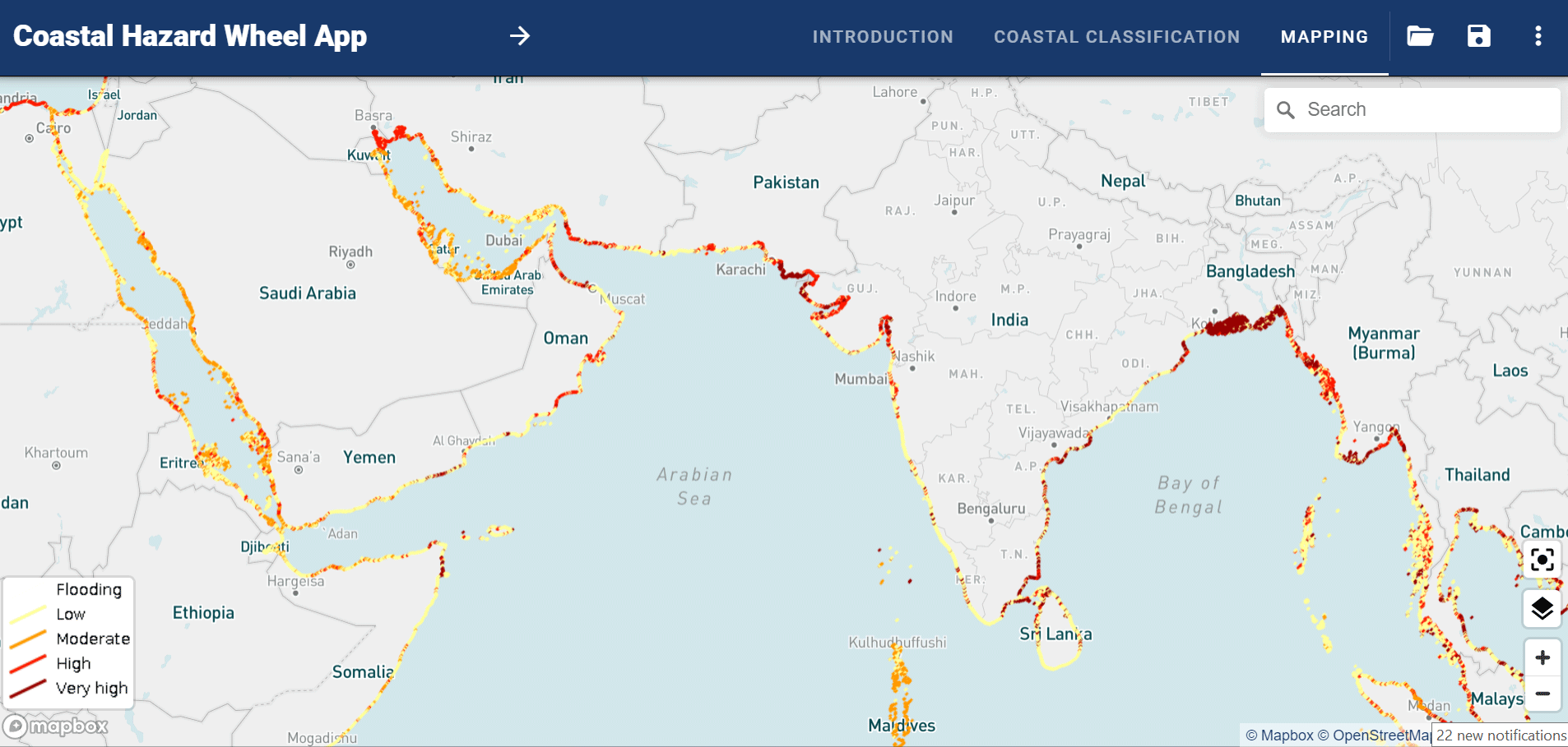
Coastal hazard mapping is the mapping of hazards present in the coastal environment in order to guide coastal planning, development and policy-making. The main coastal hazards to consider in coastal management are disruption of coastal ecosystems, gradual inundation of coastal areas, salt water intrusion, erosion and flooding.
The Coastal Hazard Wheel can be used for mapping all these hazard types under the projected climate change for coastal areas worldwide. The hazard maps provided by the Coastal Hazard Wheel App have a detail of 500 meters and cover coastal areas globally. The Coastal Hazard Wheel App makes use of the latest global geodata from remote sensing, on-site observations and modelling for a broad range of bio-geophysical parameters and the hazard maps should for most areas be of a quality to support local, regional and national planning.
The Coastal Hazard Wheel App will be continuously upgraded as part of specific coastal management and data projects and we are happy to discuss possibilities for incorporating more detailed national datasets.
For further information about hazard mapping, specific data upgrades and coastal planning, please do not hesitate to get in touch with us.